


7 Drone Listing Photography Tips Compared for Better Property Context
Compare seven drone listing photography tips for Ottawa properties, from aerial angles and lighting to preparation, context, and ground-level image coverage.
7 Drone Listing Photography Tips Compared for Better Property Context
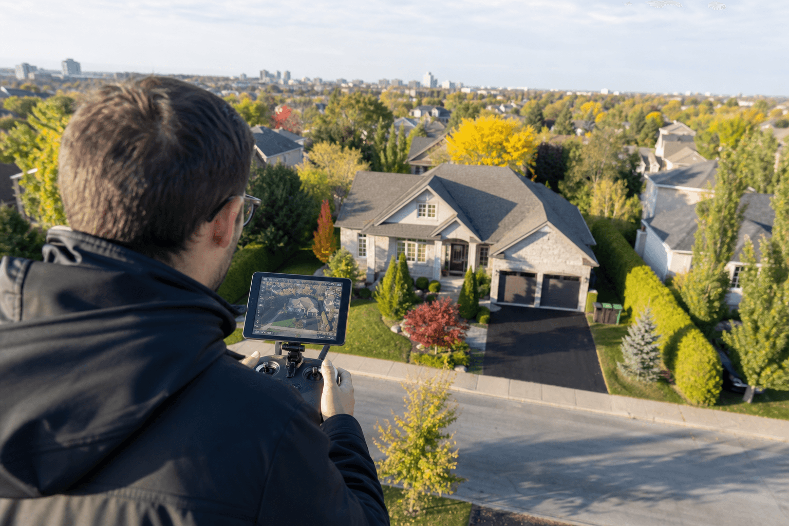
Effective drone listing photography should add information that conventional photos cannot show clearly, such as a property’s scale, layout, outdoor features, and relationship to its immediate setting. The strongest image set is rarely made up of aerial photos alone. It combines wide views, angled detail, suitable light, a prepared scene, and useful ground-level coverage.
For an Ottawa home, rental property, commercial building, or investment listing, compare each image by the decision it helps a viewer make. A dramatic view is less useful if it hides the driveway, separates the home from its lot, or repeats information already shown elsewhere.
Aerial listing photography at a glance
Aerial photography can show the structure, garden, driveway, garage, pool, scale, and layout in a single view, but each perspective has a different job. Research on drone photos in real estate supports using aerial imagery to reveal these relationships rather than treating it as a replacement for every other listing photo.
| Approach | What it reveals | Strength | Limitation | Best use |
|---|---|---|---|---|
| Wide aerial | Overall scale, layout, and major outdoor features | Creates a clear property overview | Fine architectural details may be lost | Establishing the full site |
| Low angled aerial | Roofline, façade, landscaping, and structure | Adds depth and architectural character | May show less of the surrounding layout | Supporting exterior detail |
| High-altitude view | Lot arrangement and relationships between features | Explains spatial organisation | Can make the property feel visually distant | Large or complex properties |
| Location-oriented view | Immediate setting, access, and visible surroundings | Adds context beyond the building | Empty space can distract from the listing | When surroundings affect the decision |
| Soft natural light | Depth, colour, texture, and contrast | Can create a more dimensional image | Timing may not suit every property or schedule | Exterior views where surface quality matters |
| Harsh midday light | Bright, direct views of the site | May provide straightforward visibility | Can flatten texture and contrast | When clarity is more important than mood |
| Ground-level coverage | Interior rooms, entrances, finishes, and close details | Shows features aerial images cannot explain well | Does not communicate the whole site as efficiently | Complementing aerial images |
1. Compare wide aerial views with low angled detail shots

A wide aerial view and a low angled shot should not be judged by the same standard. A wider, higher perspective is useful for showing the property’s footprint, the arrangement of outdoor areas, and the relationship between the building and its lot. A lower angled perspective can communicate façade shape, roofline, landscaping, and architectural detail more effectively.
When reviewing a proposed image set, ask what information each angle adds. If two images show the same side of the home from nearly the same position, one may be unnecessary. A better combination might include one image that explains the whole site and another that brings attention to an exterior feature that matters to the listing.
Guidance on aerial real estate photography similarly recommends combining wide, higher frames for scale with lower angled images for architectural detail.
2. Match the camera angle to the property’s strongest feature
The most useful perspective depends on what the property needs viewers to understand. A home with a large garden may benefit from a view that connects the garden to the house. A property with a long driveway may need an angle that makes access and parking easier to understand. A building with a distinctive exterior may be better served by a lower, angled view than by a directly overhead frame.
Start by identifying the feature that influences how someone evaluates the property. Then choose the angle that shows that feature in relation to the rest of the site. A visually attractive image can still be weak if the key feature is too small, partly hidden, or disconnected from the building.
3. Compare soft light with harsh midday light
Lighting changes how viewers read an exterior image. Soft light around sunrise or sunset can add depth and colour, while strong midday light may reduce visible texture and contrast. That does not make one option universally correct. The better choice depends on the property, the surfaces being photographed, the direction of light, and the information the image needs to communicate.
Compare proposed timing by checking whether the façade, roof, yard, and access points remain easy to interpret. Aerial photography guidance on light and composition identifies softer periods as potentially helpful for depth and colour, while noting that harsh midday light can flatten textures and contrast.
4. Prepare the property before the drone arrives
Preparation is just as important from above as it is at street level. Remove unnecessary items from patios, balconies, driveways, and visible outdoor areas. Arrange furniture, bins, equipment, vehicles, and seasonal items so they do not obscure the features the listing needs to show. Check the scene from likely aerial viewpoints, not only from the front door.
- Clear avoidable clutter from the yard, driveway, patio, and entrance.
- Position outdoor furniture so the area looks usable without blocking circulation.
- Make landscaping and key exterior features visible rather than hidden behind movable items.
- Review roofs, decks, sheds, and other elevated surfaces that may be prominent from above.
- Make final adjustments while reviewing the composition.
These photo preparation recommendations support cleaning, decluttering, using natural light, and making adjustments while shooting.
5. Show useful surroundings without losing the property
Surrounding context is valuable when it helps a viewer understand the property’s access, lot arrangement, landscaping, or immediate setting. It becomes less useful when the home occupies only a small portion of the frame or when empty space and unrelated background dominate the image.
Before approving a location-oriented image, ask whether the surrounding information is relevant, whether viewers can still identify the home quickly, and whether the frame adds information that another image does not already provide.
6. Compare aerial coverage with conventional listing photography
Drone imagery and conventional listing photography solve different visual problems. Aerial views can explain the relationship between a building, its lot, and visible outdoor features. Ground-level images remain important for interiors, room proportions, finishes, entrances, close exterior details, and the way a person experiences the property at eye level.
Drone photography is more likely to add value when the site layout is difficult to understand from the ground, when outdoor space is meaningful, or when the property’s setting forms part of its appeal. Think of the two formats as complementary rather than competing.
7. Review the final image set for decision-useful coverage
Before accepting a final set, review it as a buyer, tenant, investor, or listing professional would. Each image should have a clear role.
- Scale: Can viewers understand the property’s size and arrangement?
- Layout: Is the relationship between the building, yard, driveway, and other features clear?
- Detail: Do lower angled or ground-level images show what wide views miss?
- Lighting: Are colour, texture, contrast, and important surfaces easy to interpret?
- Preparation: Has avoidable clutter been removed?
- Context: Does the surrounding view provide relevant information?
- Distinct coverage: Does every selected image add something different?
If you are evaluating a photographer, also ask how they approach controlled flying, safety checks, framing, and image selection. This introductory drone flying resource provides background on controlled capture and planning. You can also review this overview of drone photography for property listings.
Applying the comparison to an Ottawa listing
For Ottawa sellers, landlords, investors, and real estate professionals, the right question is not simply whether a listing should include drone photos. Ask what a prospective buyer or tenant needs to understand about the property and whether an aerial image communicates it more clearly than a conventional photo.
For residential listings, compare aerial coverage with the home’s interior and exterior presentation. For rental properties, consider whether the image set explains outdoor space and access without distracting from the unit itself. For commercial properties, assess whether the views help communicate the building, site arrangement, and visible access points.
Sagar Shah Real Estate provides residential and commercial real estate services across Ottawa, including buying, selling, leasing, tenant services, landlord services, property management, and property valuation. Review its residential real estate services and commercial real estate services when planning a broader property-marketing approach.
Conclusion: choose images for the information they add
Use wide aerial views to establish scale, lower angles to show architectural detail, suitable light to preserve depth and colour, and careful preparation to keep the scene clear. Add surrounding context when it helps viewers understand the property, then balance aerial images with conventional coverage for interiors and close details.
Before approving an image set, check that it explains the property’s layout, highlights relevant features, avoids repetition, and presents the scene clearly. If you are buying, selling, leasing, or managing property in Ottawa, contact Sagar Shah Real Estate to discuss how aerial imagery may fit your broader real estate plan.
Ready to discuss your real estate goals?
Get practical, personalized guidance for your next move in Ottawa.
Book a consultation